


|
Quantity
|
Total
|
||
|
|
|||
|
|
|||
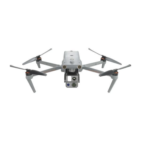
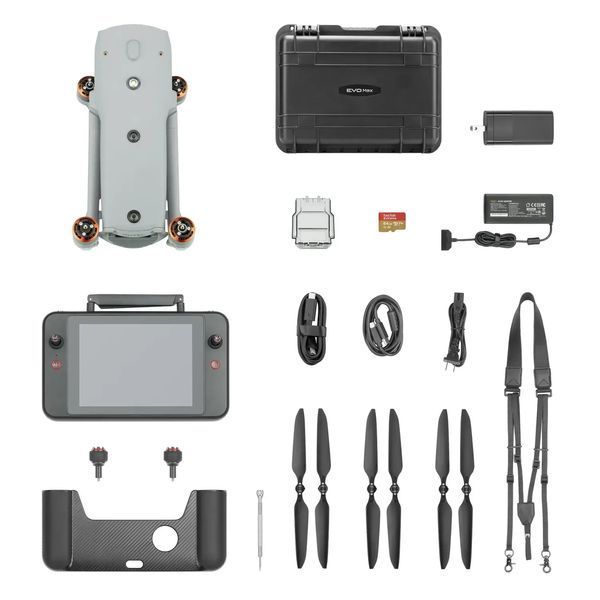
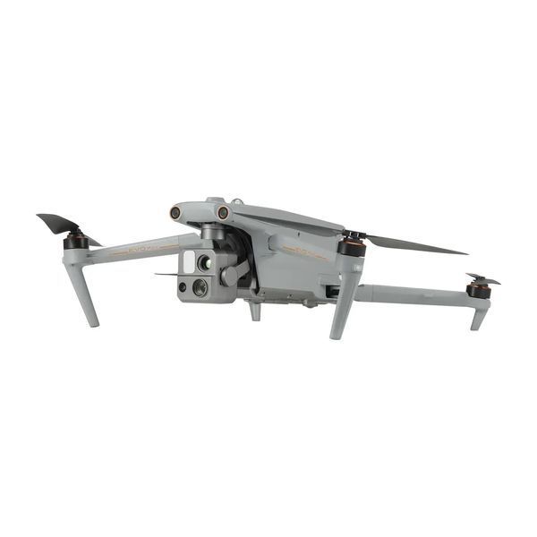
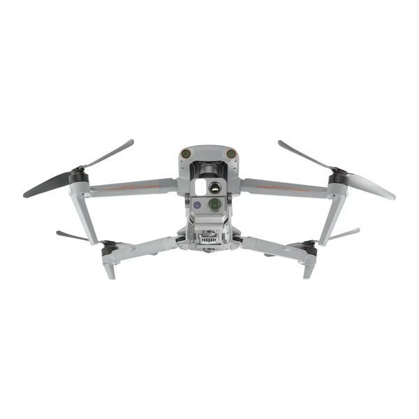
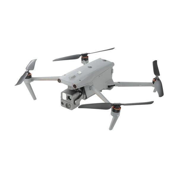
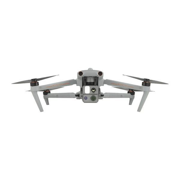
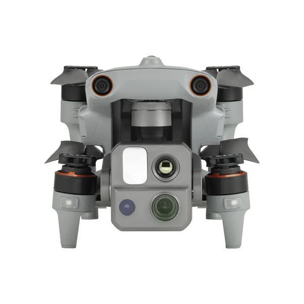
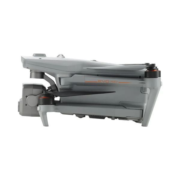
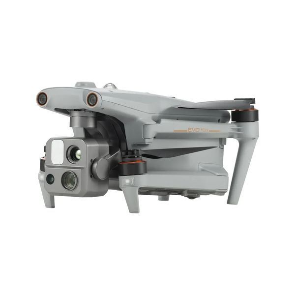
AUTEL EVO Max 4T is a professional multi-purpose drone designed for environments where maximum reliability, autonomy, and resilience are required. Its portable folding design enables rapid field deployment, while the combination of advanced optics, high-resolution thermal imaging, and Autonomy Engine artificial intelligence allows operation even without GPS — inside buildings, tunnels, and fortified structures. A comprehensive obstacle avoidance system based on binocular vision and millimeter-wave radar ensures safe maneuvering in complex environments, and the Moonlight 2.0 algorithm delivers clear imagery in low-light conditions. EVO Max 4T integrates reconnaissance, surveillance, monitoring, and mapping capabilities into a single platform tailored for professional use by rescue teams, engineers, security operators, and field units.
Technical specifications
| Parameter | Value |
|---|---|
| Model | AUTEL EVO Max 4T |
| Type | Reusable UAV |
| Flight time | up to 42 minutes |
| Maximum flight altitude | up to 7,000 m |
| Signal transmission range | up to 20 km |
| Wind resistance | up to 12 m/s |
| Body protection | IP43 |
| Weight | approximately 1.6 kg |
| Design | foldable |
| Thermal camera | 640×512, 30 fps |
| Thermal digital zoom | up to 16× |
| Video | 4K, 30 fps |
| Video ISO | up to 64,000 |
| GPS-free navigation | supported |
| Obstacle avoidance | binocular vision + radar |
| AI recognition | people, vehicles, heat sources |
Commentary
AUTEL EVO Max 4T stands out as one of the most advanced platforms in its class due to its integration of thermal imaging, autonomous navigation, and intelligent obstacle avoidance. It is not merely an aerial camera but a comprehensive situational awareness tool capable of operating where other drones are limited by lack of GPS or challenging environmental conditions. For professional operators, this translates into greater confidence, higher efficiency, and reduced operational risk.
Who it is suitable for
Primarily for military units, reconnaissance teams, and security services that require a reliable drone for surveillance, intelligence gathering, and operation in GPS-denied environments; as well as for rescue teams, engineers, security operators, search and rescue units, and infrastructure monitoring specialists.