


|
Quantity
|
Total
|
||
|
|
|||
|
|
|||
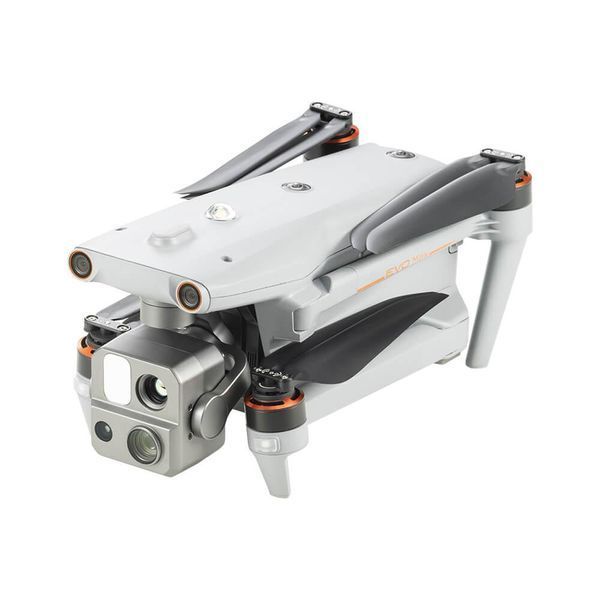
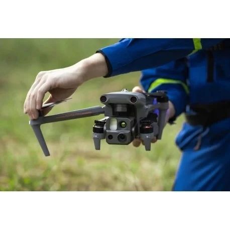
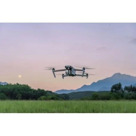
EVO Max 4T is a next-generation professional drone designed for security, reconnaissance, industrial, and infrastructure monitoring tasks. It is a portable foldable UAV equipped with a thermal imaging camera, advanced autonomous navigation, and high resistance to harsh operating conditions. The drone can operate at altitudes up to 7,000 meters, withstand wind gusts up to 12 m/s, and transmit video up to 20 km. Thanks to the Autonomy Engine and an advanced sensor suite, EVO Max 4T can perform missions even without GPS, indoors, or in low-visibility environments.
🫡 We are a team of veterans
We evaluate equipment from a real-world operational perspective. Reliability, autonomy, stability, and operator usability matter more to us than marketing claims. We focus on solutions that deliver real value in high-risk and demanding environments.
⚙️ TTH
| Parameter | Value |
|---|---|
| Model | EVO Max 4T |
| Type | foldable quadcopter |
| Flight time | up to 42 minutes |
| Maximum altitude | up to 7,000 m |
| Protection rating | IP43 |
| Wind resistance | up to 12 m/s |
| Video transmission range | up to 20 km |
| Camera | thermal 640×512 |
| Video | 4K / 30 fps |
| Photo | HDR |
| Light sensitivity | ISO up to 64000 |
| Digital zoom | up to 16× |
| Autonomous navigation | Autonomy Engine |
| GPS-free operation | supported |
| Intelligent features | AI identification, 3D navigation |
| Design | portable, foldable |
💬 Commentary
EVO Max 4T combines binocular sensors, millimeter-wave radar, and AI algorithms to build safe 3D flight paths in real time. The thermal camera effectively detects heat sources, people, and vehicles, while advanced image processing ensures reliable performance in low light, smoke, or dense urban environments. This platform is well suited for long autonomous missions where reliability and precision are critical.
🎯 Who it is for
For military units requiring an autonomous thermal reconnaissance drone capable of operating without GPS. For security services, rescue teams, engineers, surveyors, industrial monitoring operators, and professional users who need autonomous navigation and high-quality sensing capabilities.